The 1939 Bush fires devastated these bush sawmills and small communities and after this catastrophic event, sawmills were relocated to townships around the forests, and, with the improvement of motor technology driven by the second world wars, trucks took over the duties of the old tramways which were abandoned.
In 1983, after the bush fires of that year, it was found that much of the tramway and sawmill infrastructure had survived the ravages of time and fire and the Walk Into History was established. This track follows the old tramway tracks from Powelltown up to "The Bump", where the remains of a tramway tunnel can still be seen, through the deserted township site of Nayook West on the Banks of the Ada river and thence up the "High Lead" a steep mountainside which could not be managed by steam engines resulting in a winching operation to drag rolling stock up and down the incline, and thence to the Ada River to the site of the Ada No 2 Sawmill.
From here the tramway can either be followed up to the site of the New Federal Mill site and then links with a magical walking track to and from the Ada Tree. The Ada Tree is is a giant Mountain Ash around three hundred years old. The walk from the carpark nearby passes through a wonderful Myrtle Beech rainforest.
The Walk Into History continues from the Ada No 2 millsite along the tramway track through to Starling Gap along the Ada River Valley. From Starling Gap tjhe track drops down to Big Pat's Creek near Warburton - a total of 33 Kms. The good news is that it can be broken up into many easily handled shorter walks as per the link below:
http://www.dse.vic.gov.au/__data/assets/pdf_file/0013/101830/FS0033_-_Yarra_State_forest.pdf
Driving to the various starting points takes you through todays logging operations. Timber is harvested throughout this area.
Other links that may be of interest are:
http://osp.com.au/?p=2296
http://www.theage.com.au/articles/2003/06/10/1055010959407.html
http://www.visitvictoria.com/Regions/Gippsland/Activities-and-attractions/Outdoor-activities/Walking-and-hiking/West-Gippsland/Ada-Tree.aspx
The Reid's Mill Circuit

The cart Park at Powelltown - the start of the Walk into History and the Reid's Mill Circular Walk

The Powelltown Sawmill

Wheels beside the track

The Little Yarra River at the beginning of the Reid's Mill circuit

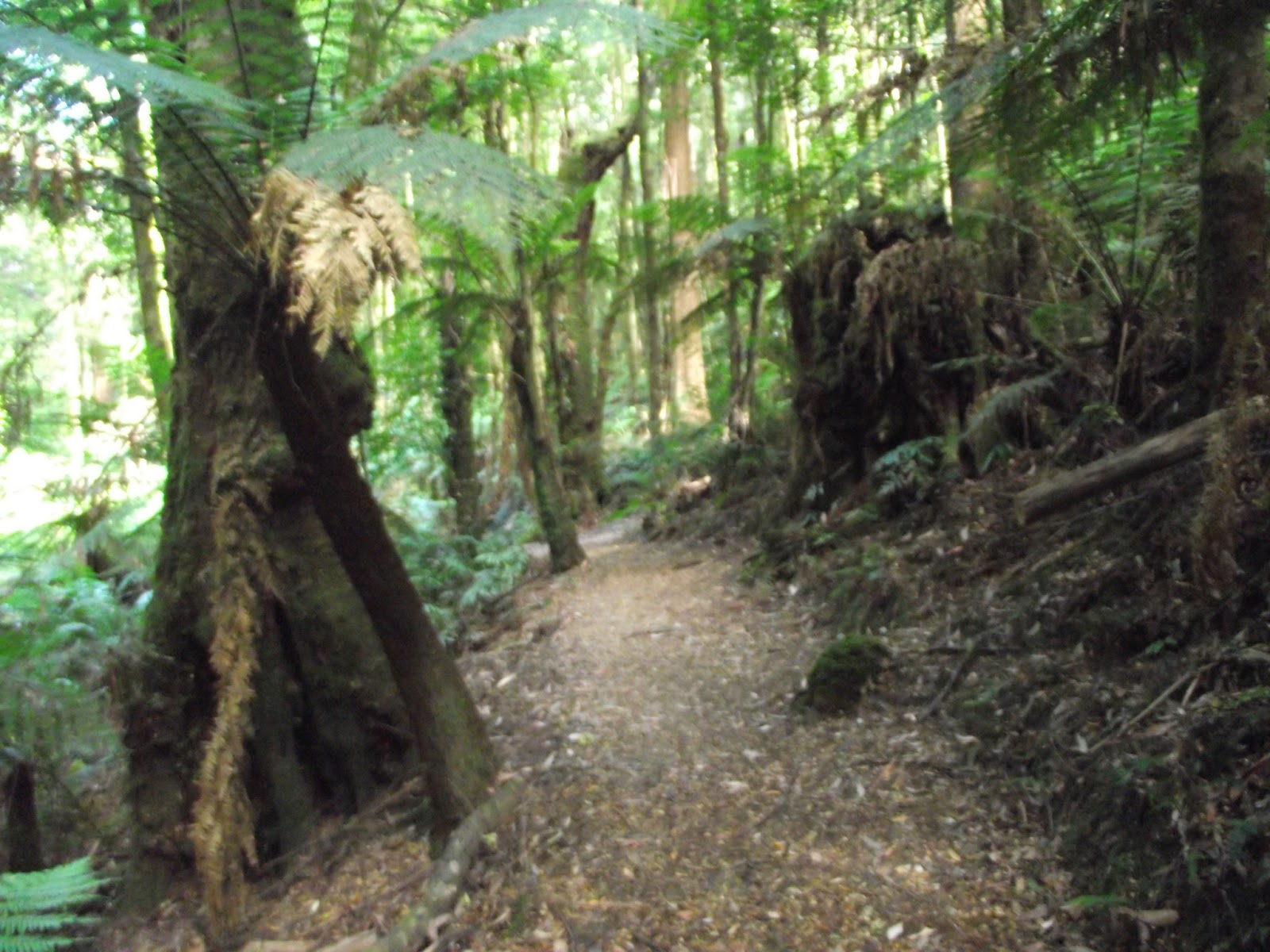
Along the tramway track to Reid's Mill


A circular saw blade at the Site of Reid's Mill

Lichen

The return to Powelltown follows more recent bush tracks

The Little Yarra River near the Car Park at Powelltown
Powelltown to Starling Gap

The track leading down from The Bump to the site of the township of Nayook West and the entrance to the now collapsed tramway tunnel under the Bump
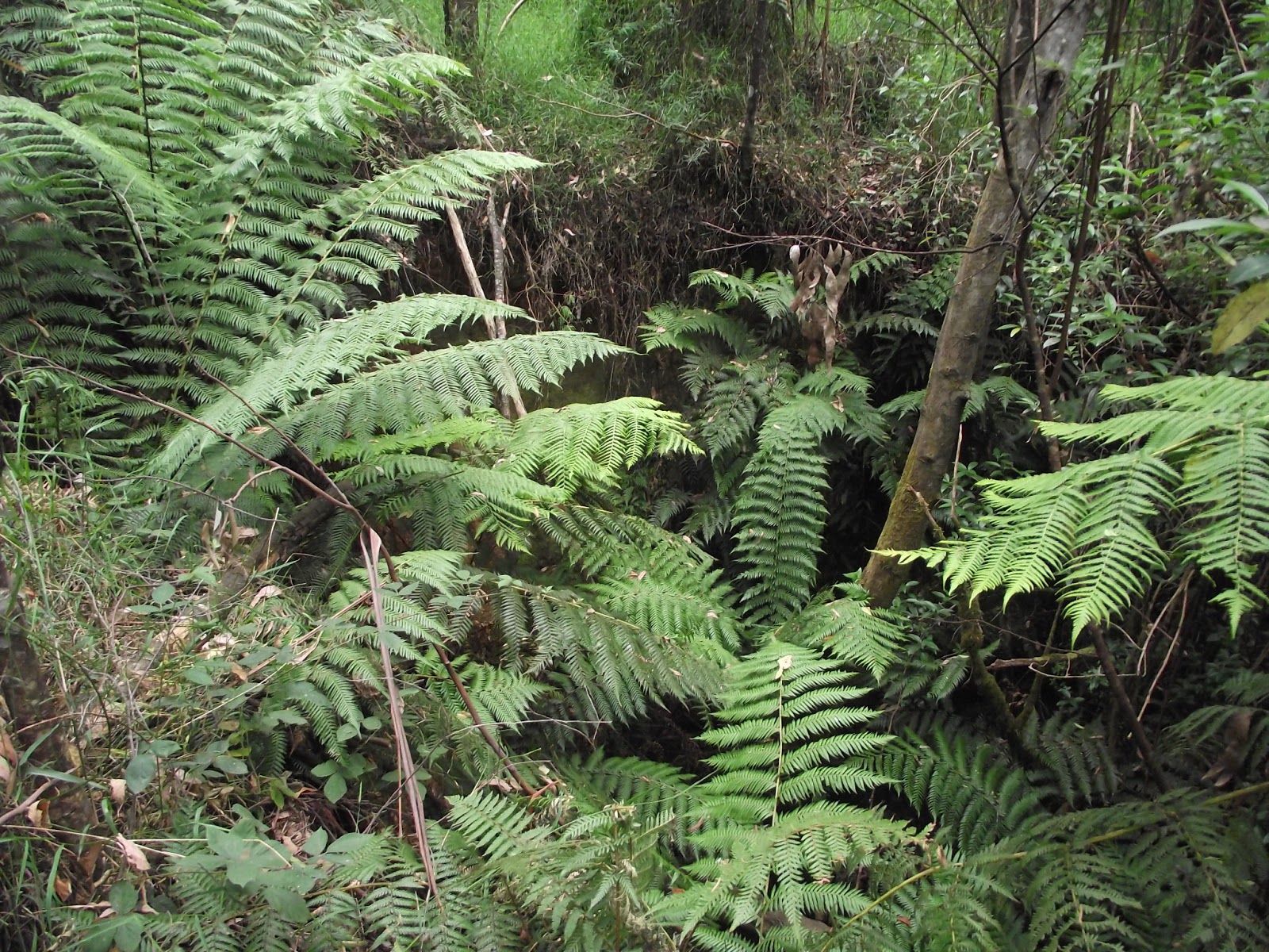
Looking towards the tunnel entrance - difficult to see today

On the Tramway close to Nayook West

A log bridge spanning the Latrobe River near the site of Powelltown Bush another site destroyed in the 1939 Bush fires

A Log Bridge somewhere on the site of Powelltown Bush
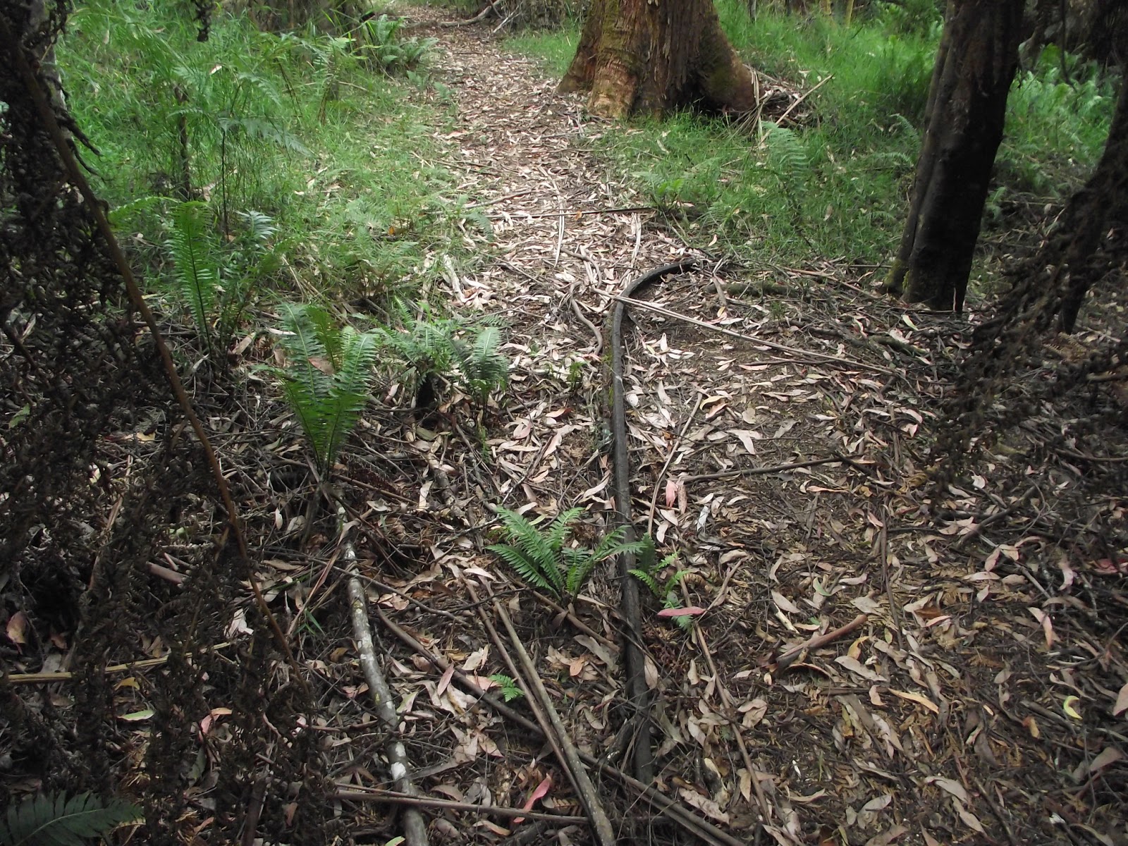
A steel rail on the track

The remains of a wooden Trestle Bridge which once carried the tramway over this gully

The top of the High Lead incline close to the site of the Winch

Possibly a part of the winch

A boardwalk over the Ada River

Remains of the Trestle Bridge that spanned the Ada River

An Old Boiler at the Ada No2 Mill

Remains of buildings

Another Circular Saw Blade

The Picnic Ground at the Ada No 2 Mill

Starling Gap Camping and Picnic Ground looking towards the old tramway which leads to the Ada No 2 Mill
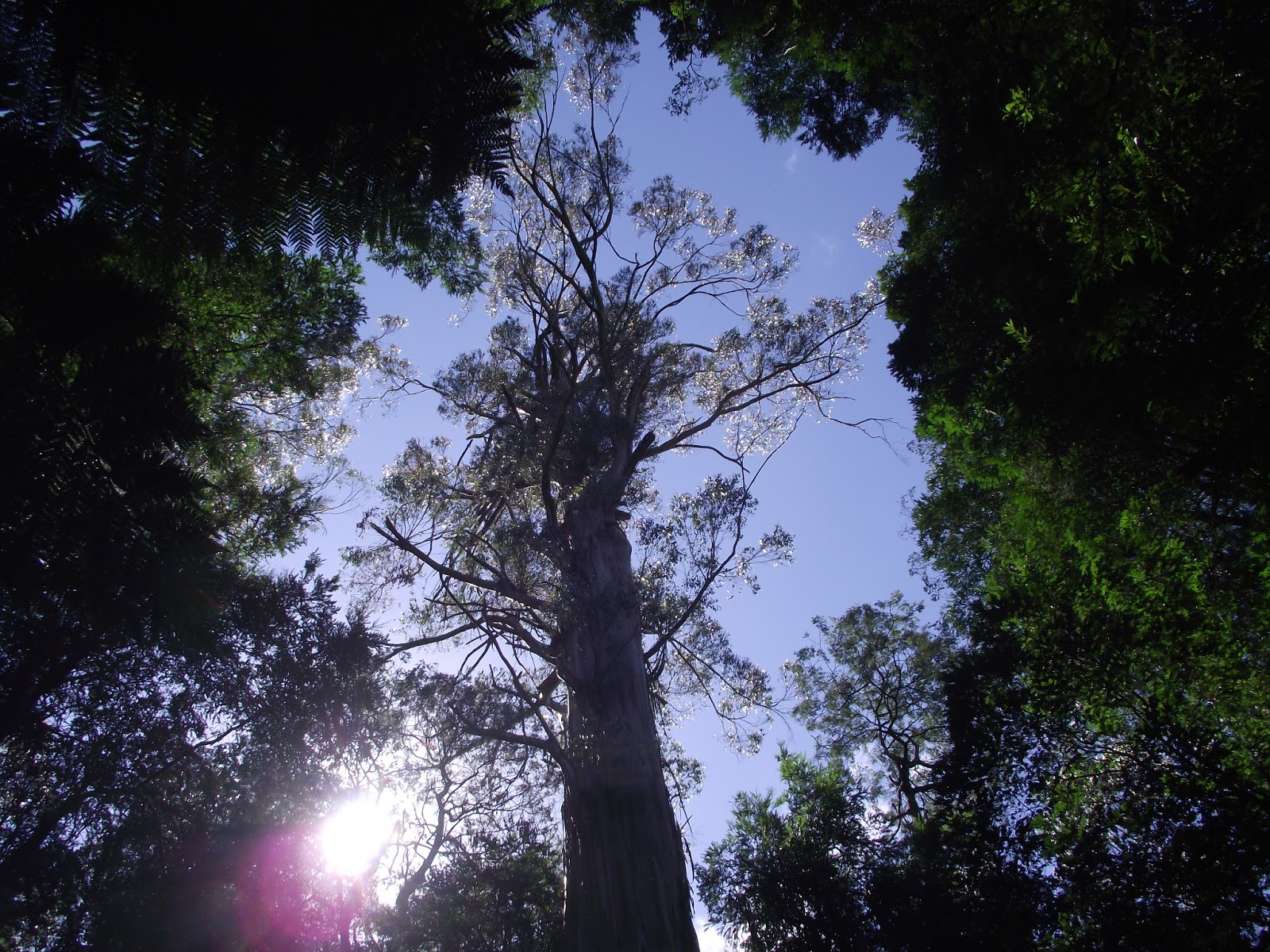
The Ada Tree

Crossing the creek on the way to the Ada Tree
Walking through the Myrtle Beech Grove

Trees on the track


Three views of the Ada Tree - It was impossible to get the tree in one photo


The track back to the carpark
Is the "Bump Tunnel" inside the "Nayook West" track just opposite the "ADA Tree" brown tourist sign ?
ReplyDeleteReason why I asked, was because I hiked the 4.8km section from "High Lead car park" to the exit point which leads to the main neerim road and opposite "Pionneer fireline" track.
ReplyDeleteBeyond this exit point i could not see the continuation of the "walk into history trail" as it was very overgrown but i did see sections of rail tracks hidden amongst the foilage.